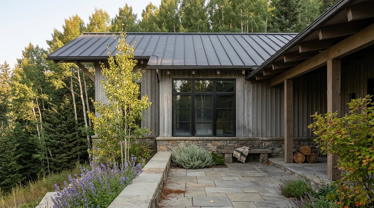
Ask someone why they bought in Potato Patch and you'll hear about elevation first. The hillside sits high enough above Vail Village that the views open up in a way flatter addresses can't match, and the neighborhood has a reputation for being just far enough off the main bus loop that it feels private. What almost nobody mentions is that the same road delivering that elevation also happens to be the actual front door to one of Vail's longest trail systems, and a few miles beyond that, to a lake most visitors need forty-five minutes of dirt road just to reach.
That's the part worth sitting with in mid-August. Not the view from the deck, but where the road goes if you keep walking past the last driveway.
The Road Doesn't Dead-End, It Trails Off
The Town of Vail's own trail guide is specific about this: walk up Potato Patch Road to U.S. Forest Service Red Sandstone Road for about a mile and a quarter, and you'll hit the North Trail and Son of Middle Creek trailhead. There's no shuttle transfer, no parking structure, no drive-and-park routine that residents everywhere else in town have to plan around. It's a walk from the neighborhood, on a road the neighborhood already uses.
For anyone who'd rather skip the incline, the town also runs a free Sandstone bus that stops near Vail View, and from there it's a short walk up Potato Patch Road to the same trailhead. Either way, the access point that other Vail residents drive to is one most Potato Patch owners pass on their way home from the grocery store.
What's Actually Up There Right Now
The North Trail system carries a seasonal wildlife closure every year, typically running from April 15 through June 20, to protect elk and deer during calving season. The Vail Valley Mountain Trails Alliance names Son of Middle Creek specifically as one of the trails affected. That closure lifted back in June, which means as of this week the trail has been open and hikeable for close to two months, plenty of time for the aspen understory to fill back in after a slow spring melt.
Son of Middle Creek itself runs close to 7.9 miles round trip with roughly 1,900 feet of climbing if you're doing the full out-and-back, according to trail mapping from AllTrails. That's a half-day commitment, not a before-dinner stroll. If you want something shorter, the western section of the North Trail, sometimes called Trappers Run, climbs more gradually through dense aspen forest and tops out at a meadow with sightlines running from the Gore Range to the Holy Cross Wilderness. Trail reviewers who've logged both segments note that Trappers Run is quiet enough that you lose the highway noise entirely, something the Son of Middle Creek segment doesn't fully manage since it runs closer to I-70.
Here's how the two compare for someone deciding which one to do this week:
| Segment | Starting Point | Distance | Character |
|---|---|---|---|
| Son of Middle Creek | End of Potato Patch Road via Red Sandstone Road | About 7.9 miles round trip, ~1,900 ft gain | Aspen groves, moderate crowds, some highway noise |
| North Trail West (Trappers Run) | Buffehr Creek connector or West Vail access | Shorter, gradual climb | Quiet meadow at the top, Gore Range and Holy Cross views |
Both sections require dogs on a physical leash once you're inside the Eagles Nest Wilderness boundary, which covers most of the North Trail. If you want an off-leash walk instead, that's a different trail entirely, not this one.
The Season That Ends September 27
Keep going past the trailhead on Red Sandstone Road, and about twelve miles north of the village you reach Piney River Ranch, sitting on the edge of Piney Lake at 9,350 feet. This is the part of the Potato Patch corridor that has an actual expiration date attached to it.
Piney River Ranch opens no earlier than June 21 each year, once the Forest Service road is clear, and closes for the season on the last Saturday in September. This year that lands on September 27. Daily hours run 9 a.m. to 6 p.m., with last entry around 4 p.m. so there's time to actually do something before the gate closes for the night.
The road itself is unpaved for the last stretch, maintained by the Forest Service, and the ranch's own guidance suggests budgeting 45 minutes from the start of the dirt to reach the property. High clearance helps but isn't strictly required. There's no cell service or wifi once you're there, so if fishing is part of the plan, the Colorado license needs to be purchased online before you leave home, not at the ranch.
Once you're there, the options split into two speeds. Canoeing or paddleboarding on the lake is a first-come, first-served rental, no reservation needed. Fly fishing works from shore, a canoe, or along the Piney River itself, with brown, cutthroat, rainbow, and brook trout all showing up regularly. For hikers, the Upper Piney River Trail starts just outside the ranch entrance and runs about six miles round trip to Upper Piney Falls, threading through wildflower meadows and aspen stands with Mount Powell visible in the distance.
Why The Next Six Weeks Matter More Than The Last Ten
Vail's aspen color typically peaks somewhere between mid-September and early October, with the higher country turning first and lower elevations following a week or two behind. This year's forecasters are watching a light snowpack and a warm summer, both of which tend to pull peak color earlier rather than later. That's worth knowing because Piney River Ranch's last day open, September 27, sits right in the middle of that typical peak window, not safely before or comfortably after it.
In practice, that means the plan of "wait until the leaves are obviously turning, then head up to Piney" carries real risk of missing the ranch's season entirely, especially if this year's color arrives on the early side. The safer read for someone who wants both the ranch and the color: aim for the two or three weeks right around Labor Day into mid-September, when the aspens along Son of Middle Creek and the drive up Red Sandstone Road are already showing some yellow, and the ranch is still fully open and not yet crowded with people trying to beat the closing date.
What This Actually Changes For Someone Living Here
None of this requires a car trip to a trailhead parking lot somewhere else in the valley. It requires knowing that Potato Patch Road already does that job.
A few practical notes worth keeping in mind before the season turns:
- Buy any fishing license online before heading toward Piney. There's no way to do it once you're there.
- Bring a leash for the North Trail sections inside the Eagles Nest Wilderness boundary, even if your dog normally goes without one closer to home.
- Plan the Piney trip for a weekday morning near opening. The ranch's own guidance notes the busiest stretch is midday, and the road doesn't reward being in a hurry either direction.
- If the goal is fall color plus the ranch, don't wait for peak. Go while the season's still open and let the color arrive while you're already there.
Living on this hill has always meant trading a bit of walkability in the village for elevation and quiet. What's easy to miss is that the trade also comes with a trailhead built into the commute, and a seasonal destination at the end of the same road that most of the valley only reaches by way of forty-five minutes of dirt.
If you're weighing what a Potato Patch address actually delivers day to day, beyond the view from the deck, that's a conversation worth having with someone who knows this hillside from the ground up. Tricia Gould has spent nearly two decades working this exact stretch of the valley. Let's Connect.